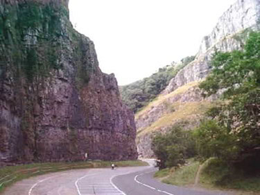
Facing toward the gorge (and the village of Cheddar beyond), look for the gate from the layby on the right. The gate leads to a track, and after about 100m, and you’ll need to take a turn to the left, through the kissing gate, and following the sign to Gorge Walk Cheddar
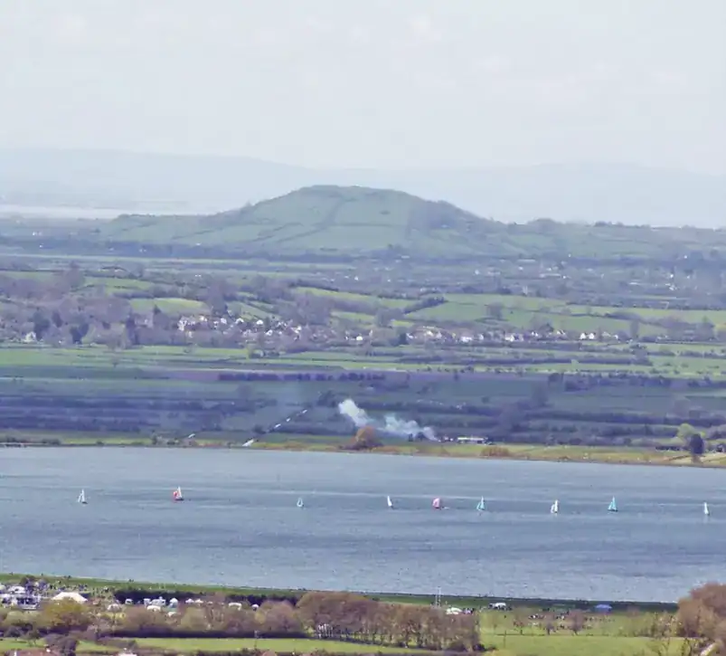
Once you’ve gone through the kissing gate, the path begins to climb steeply again, up stone steps and through the trees on the right with mostly bracken on the left, until eventually, you reach the top of the gorge – your chance to enjoy the fabulous views of the area, including the gorge itself and ahead of you Cheddar Reservoir, and beyond that the distinctive hill called Brent Knoll (where my grandparents lived when I was a child!)
The path now evens out to let you catch your breath, as you walk along the north edge of the cliffs enjoying the vista.
Eventually, as you head toward the village of Cheddar, the path begins its descent, until eventually, you’ll come to a stone wall with a metal gate.
Go through the gate and immediately turn left, following the path as it drops steeply. You’re going to descend over 400 feet (130 metres) in this part of the walk, so do take care and watch out for loose ground so that you don’t lose your footing.
As you come into Cheddar village, you’ll go through another metal gate, and kissing gate, and the path goes between the houses, heading towards the reservoir, eventually coming out on a road called Tuttors Hill.
Turn left down Tuttors Hill, following the road between the stone walls and houses, until the road meets Birch Hill, a slightly larger road, and turn left.
Where the road goes around to the right by a house called Wayside, look for the path straight ahead, which goes between the houses and brings you out at the point where the roads called “The Bays” and “Daghole” meet – turn left here and walk down Daghole for a short distance to where the road forks in front of the White Hart, and take the right-hand fork.
This will take you along the B3135, with a selection of shops, cafes and opportunities for a well-earned drink… before you begin the next ascent!
At the junction in front of the car park turn left – the road then immediately splits, and you’ll need to take the left-hand fork, along The Lippiatt. At the point where The Lippiatt becomes Lippiatt Lane, there is a car park on the left – go through this car park to climb up the path towards the Cheddar Lookout Tower. If you’ve got excess energy at this point, you can climb the tower – but truthfully, the views will be very similar to those you’ll get from elsewhere on this walk, and you’re likely to have to share them with lots of other people, especially in the summer months.
From the Lookout Tower, follow the path, which takes you along the south edge of the gorge. This is a steep climb in places, and whilst the views of the gorge are fabulous, do take care as the path does approach the drop quite closely at times.
Keep to the path, with the fence to your right (don’t follow the sign to the West Mendip Way) and eventually, the path will begin to descend as the gorge is behind you and you head back towards the Black Rock Nature Reserve where you started.
The descent which started gently becomes quite steep in places, and can be slippery, so take care as you drop down toward Black Rock, through a couple more kissing gates, and finally returning to the road where we began the walk.