Starting at Manningtree Station, you’ll notice that there are two car parks – you need to go to the lower car park (which is to the left as you face the station building). Just as you enter the lower car park, on the left hand side is a marked path, signed Dedham, which leaves the car park next to where the car park wall starts. Take this path.
The path follows the edge of the field, alongside the trees, and after a couple of hundred metres, begins to bear right, and in just under half a mile from the station, you’ll come to St Mary’s Church (one of two St Mary’s Churches that you’ll be seeing!)
Go through the churchyard and past the church, coming out opposite the car park. Go through the car park – the path is now signed with a poppy indicating the Essex Way, and leaves the car park at the back right corner, cutting across the corner of the field and then turning to the left to go run along the line between two fields
The path leaves the fields via a gate, and comes out on Dedham Road – turn right on the road, which then curves around to the left. You’ll stay on the lane for around 300 metres, and then, by a road sign warning of oncoming vehicles in the middle of the road, the path leaves the road to fork to the left. Again, the footpath is marked with a sign – it starts by the driveway to the farm, and initially runs alongside a fence, and goes through a gate.
Stay on the path as it curves around to the left, in front of a couple of houses, again going through a gate. You’ll also go past a large barn and then after about another 150 metres, the path turns left at the edge of the field, before forking – take the right fork. When you come to another cottage shortly afterwards, keep right and take the path through the woods, coming out the other side and crossing the railway via stiles and a kissing gate.
The path then crosses the middle of a field, with a large farm on your right. Go past the farm, and the path then crosses Long Road and continues through the next field, before coming out on East Lane via another kissing gate.
Turn right on East Lane, which will shortly bear around to the left. Follow the lane until where it bears right, the path is signed off to the left, following the edge of a paddock.
Follow the path across the fields until you come out, next to a large house, on Anchor Lane, which in turn meets the main road, at which you turn right. Walk along the road, staying on the pavement for around 100 metres, until the path turns off to the left, through a wooden gate.
The path crosses the field at a slight angle, before descending a few steps and going through another kissing gate to pass a house on your right, then another house also on your right before joining a gravel track – turn to the right here.
The narrow lane moves between the cottages, then after about 200 metres, turn left by a pink house. This small lane ends quickly – you need to continue through the gate to stay on the path between farm buildings, then crossing the field diagonally via a small bridge. At the other side of the field is a second bridge – go over the bridge and through the gate to continue across the fields until you come to the end of the sports ground.
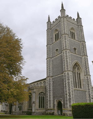
Turn right here, and left around the sports ground, past the sports club, continuing on the path past the community centre and eventually out onto the main road. You’ll emerge onto the road to the right of the second of our St Mary’s Churches – this one being the parish Church of Dedham, which dates back to the 15th Century. It’s definitely worth a look if the church is open – not only is there an impressive church tower, but the stained glass windows are also rather fine.
Take the road opposite where you came out onto the high street – this is Mill Lane. After around 250 metres, the road bears around to the right past a red brick building. Shortly afterwards is a small car park on the left – but just before the car park, the path is signed off to the left once more – take the path here to cross the River Stour over a bridge, then follow the path around to the right as it follows the river. When you come to the road at a kissing gate, cross the road and continue on the path (you’ll need to look to your left as you cross the road to pick up the path again via another gate.
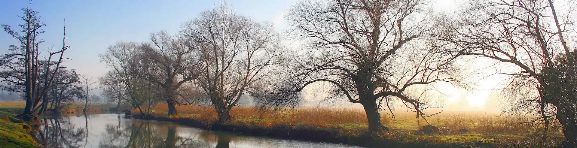
Follow the path, keeping the river to your right. After around 2/3 mile (from when you crossed the road) the river turns sharply left, then as it turns to the right again, take the wooden footbridge to cross the river – you’ll now continue to follow the path, but keeping the river on your left.
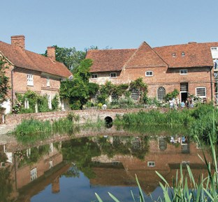
After a short while, you’ll come to Flatford Mill – owned by the National Trust, and well worth a visit if you fancy an afternoon tea, and perhaps a look at their Constable exhibition to find out more about the artist so associated with this area.
At Flatford, you need to go through a pair of wooden gates to continue along the path – again keeping the river to your left.
Follow the line of the flood defences – and where the defences end, follow the path as it turns left to once again meet up with the river.
Continue to follow the path with the river to your left, finally turning to the right and away from the river to follow signs for Manningtree. This path will then return you to the station where you started the walk.